
Information portal
Waldfriedhof München
Waldfriedhof München is located in the south-west of the city. This information portal brings together the key information for visitors.
At a glance
- Area
- 161.32 ha
- Burial plots
- approx. 64,500
- Sections
- Old section and New section
Visitor information
Prepare your visit
Quick access to the published information for planning a visit.
Address and directions
Visitor address, location and directions.
Learn moreOpening hours
Access hours for the cemetery.
Learn moreCemetery map
Maps and guidance for finding your way around the cemetery grounds.
Learn moreAdministration
Contact details and information about the responsible administration.
Learn moreMunich’s largest cemetery in a woodland setting
Waldfriedhof München is located in the south-west of the city, in the Großhadern district. As Munich’s largest cemetery, its extensive grounds are divided into an old and a new section. Woodland paths and distinct landscape settings define its character.
The history page explains how the two sections developed and were designed. The cemetery tour connects four mapped points of reference in the old section.
Discover the cemetery
History and places
Explore the cemetery’s history, selected places and points of orientation.
Photographic impressions
Waldfriedhof München in pictures
Selected photographs offer a visual impression of Waldfriedhof München.
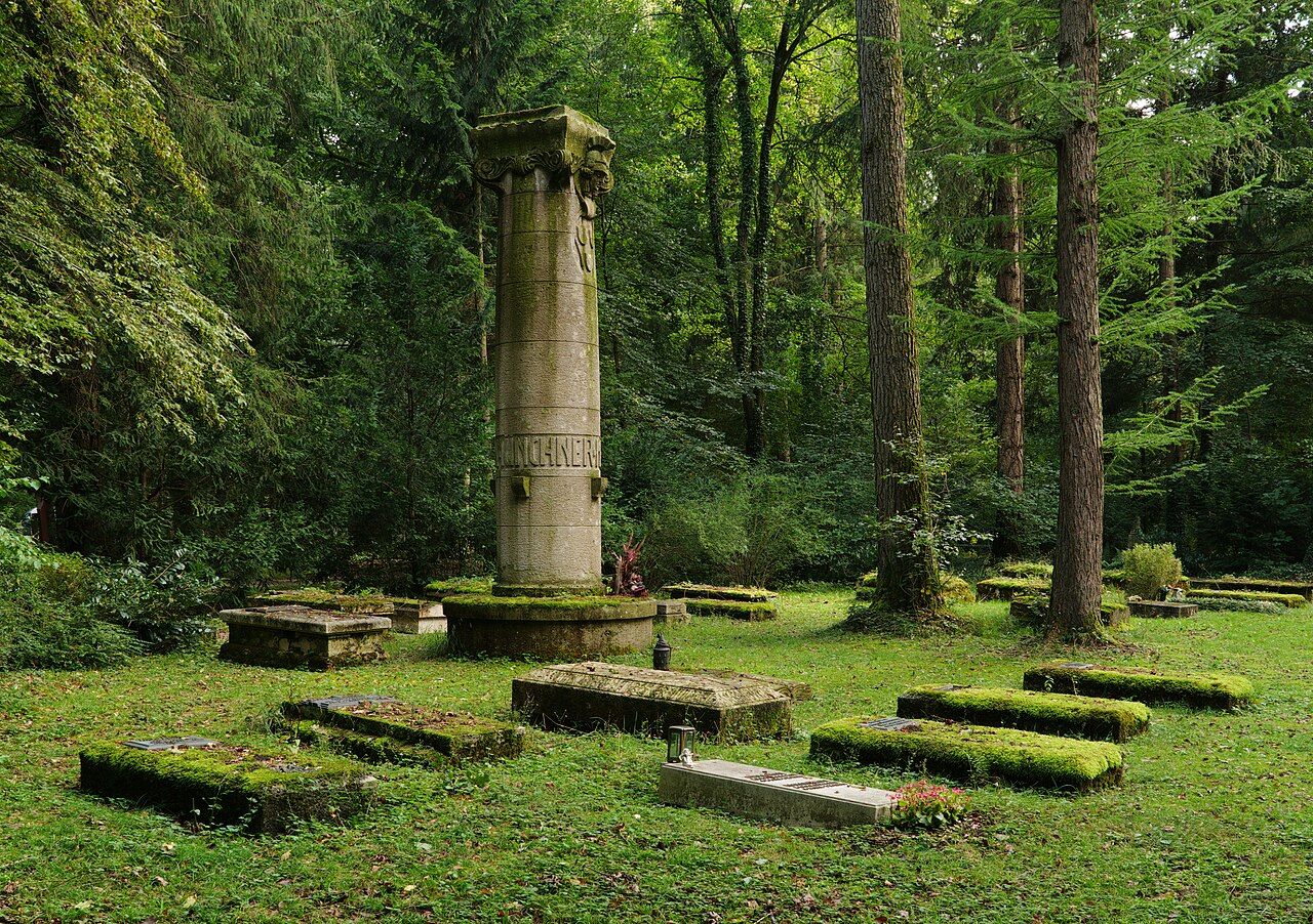
Woodland landscape with the “Den Münchner Künstlern” monument
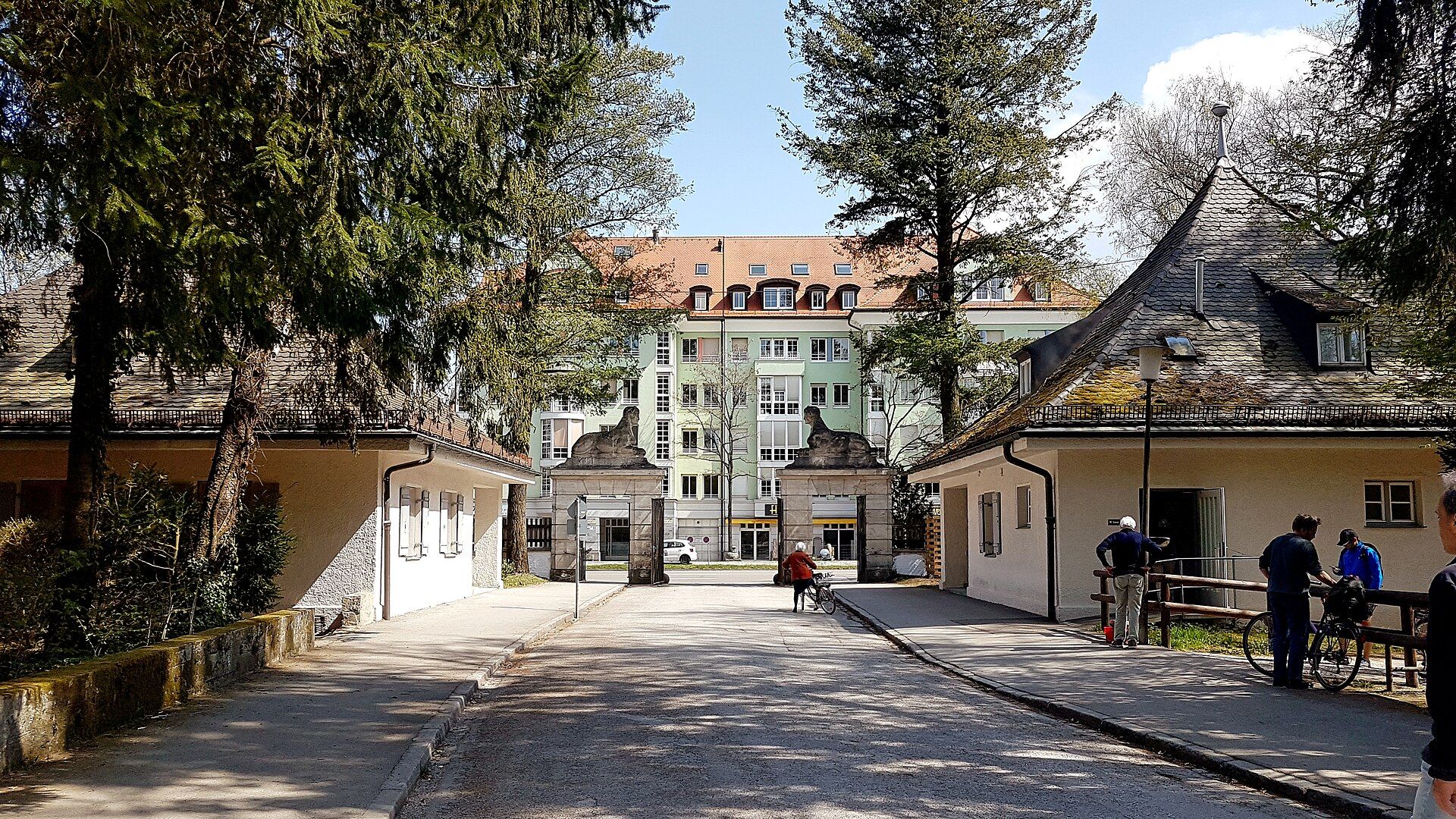
Interior side of the main entrance
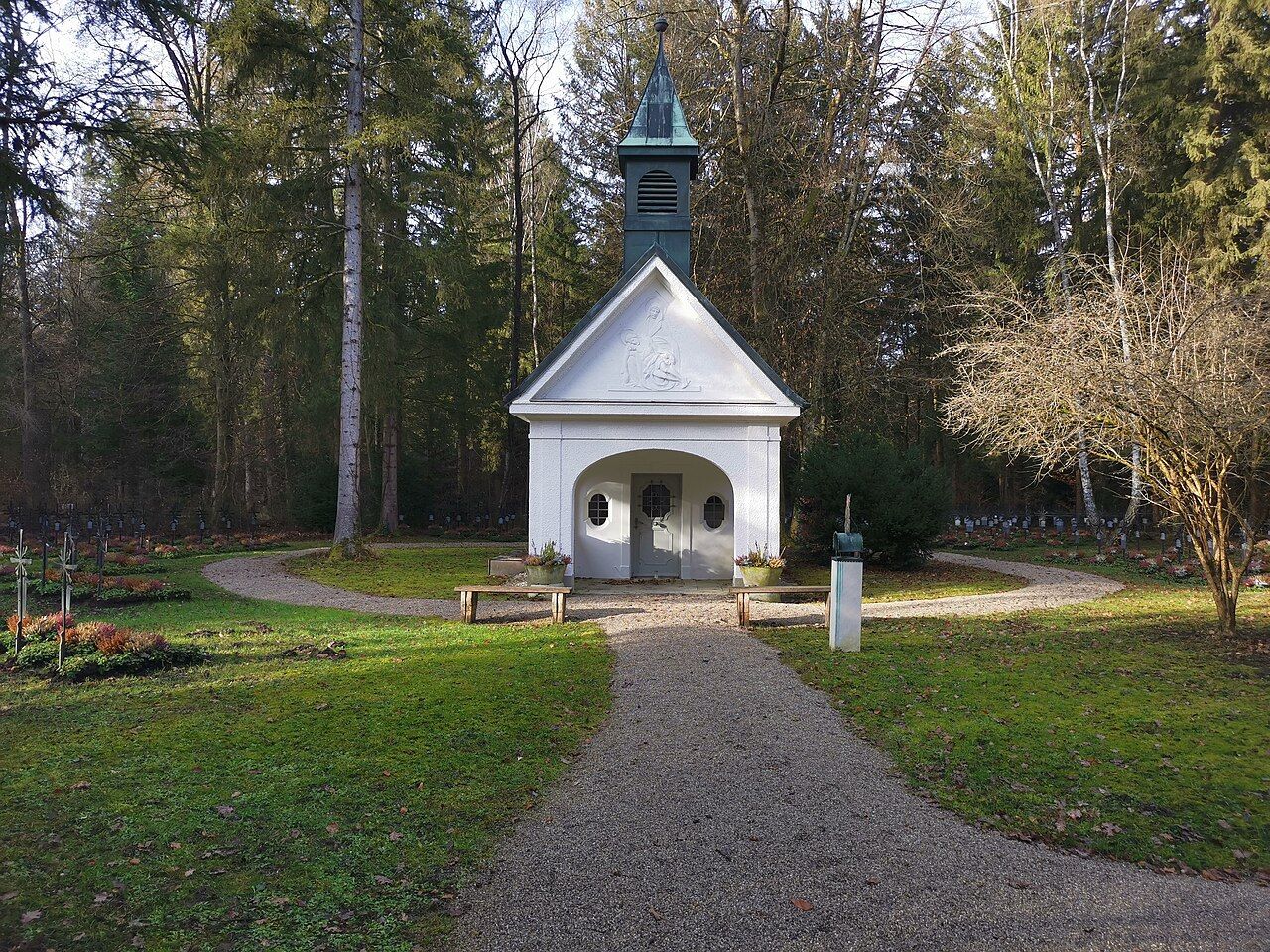
Chapel at Waldfriedhof München
Further information
About graves
Direct access to the published information about graves.
Frequently asked questions
What is the address of Waldfriedhof Munich?
The visitor address is Fürstenrieder Straße 288, 81377 München. See address and directions for location and visit-planning information.
When is Waldfriedhof open?
Access hours change by season and differ from the administration’s service hours. See opening hours for the complete schedule.
Is there a cemetery map?
Yes. The available official PDF maps and interactive map are provided on the cemetery map page.
Which grave types are listed?
The listed grave forms and their differences are summarised on the types of graves page.
Which stop serves each entrance?
For the main entrance on Fürstenrieder Straße, use the Waldfriedhof Haupteingang stop served by bus routes 51 and 151. The entrance to the new section at Lorettoplatz is beside the terminus of bus route 54. See address and directions for further entrance and parking information.
How large is Waldfriedhof München?
The grounds cover 161.32 hectares and contain approximately 64,500 burial plots, making Waldfriedhof Munich’s largest cemetery. The cemetery map helps visitors understand the scale and layout.
What is the difference between the old and new sections?
The old section, completed in 1907, was laid out within existing woodland. The new section, added in the 1960s, is shaped by a lake, long-grass meadows and biotope areas. See history for further context.
Which visitor aids are listed on site?
A transport service for senior citizens and loan wheelchairs are listed. No details are stated about availability, reservations or conditions of use; clarify these points with the cemetery administration before visiting.
Who should I contact about grave-use rights?
The cemetery administration is the point of contact for binding information. The listed topics include acquisition, extension and surrender after the prescribed resting period has elapsed. Contact details are provided on the cemetery administration page.